If you lift your eyes during a run or hike and ask, “Where did the trail go?” you are not the only one. Reading course markings is a top skill in running, hiking, and racing. They keep you on track, save time, and lower the chance of getting lost in new places.
This guide shows how course markings work, what common colors and shapes mean, and how to follow them with ease in the outdoors.
Why Course Markings Matter More Than You Think
Course markings speak a visual language on the trail. They work in three ways:
- They point to the path.
- They tell you where you should not go.
- They confirm that you are on track.
When you learn this language, you gain:
- Safety – A lower chance to get lost or wander into danger.
- Speed – You spend less time checking maps or devices.
- Confidence – You can run or hike without doubting every turn.
In races and events, course markings act as your main guide. Even if you use a GPS, those flags or ribbons give you the real route the race maker set.
The Main Types of Course Markings You Will See
Course markings change with each event, but they often come in a few styles:
1. Flagging Tape and Ribbon
Bright strips of tape or ribbon may hang on branches, stakes, or fences.
They serve to:
- Mark the main route (for example, follow the pink ribbon).
- Stand out from a distance in open spots.
- Fill in when nature does not mark the course.
Try to:
- Look ahead to spot the next ribbon as you pass the current one.
- Check the race guide for color meanings; do not assume they are the same everywhere.
2. Course Flags on Stakes
Small flags on wire or plastic stakes show the course.
They help to:
- Mark the edge of a trail in open fields.
- Define a line; for example, stay between two rows of flags.
- Highlight bends or spots with hazards.
Common ideas (but check each event):
- One color shows the normal course.
- A different color may mark an alternate route, such as a short course or kids’ race.
- A bright color may warn of hazards or a wrong way.
3. Painted Arrows and Symbols
Marks painted on rocks, trees, or the ground tell you where to go.
They can show:
- An arrow pointing left, right, or straight.
- An X or crossed arrows to mark a wrong way.
- Dots or simple marks to name a trail.
Organizers use paints that do not stay long or harm the land.
4. Trail Blazes
Blazes are marks made on trees, rocks, or posts on hiking trails.
They come as:
- A single rectangle that shows the trail.
- Two rectangles or an offset mark that signals a turn.
- Marks in different colors for different trails.
In races that use hiking trails, the event markings add to the trail blazes.
5. Directional Signs and Arrows
Signs at junctions help you decide the turn.
They may show:
- Just an arrow for a turn.
- An arrow with a distance (like “Aid Station 2 – 3 km”).
- Words that warn (such as “Not Part of Course” or “Caution: Steep Descent”).
Do not rely on one sign only. Look for more marks after you turn.
Color Codes and What They Usually Mean
Each event may have its own system, but there are familiar ideas. Read the event guide or listen at the briefing.
Common uses for colors:
- Main course color – Follow this color all the time (for example, orange ribbons).
- Wrong way color – Often red or another bright color with an X.
- Hazard color – A color that stands out on drop-offs or low branches.
- Distance or race category colors – Different colors can show different race paths (for example, blue for a long race, yellow for a shorter one).
One example (just for ideas):
- Yellow flags show the correct path.
- Red flags or tape show the wrong way.
- Black-and-yellow tape shows a hazard where you must slow down.
Since systems vary, your first step is to learn the rules for that event.
How to Read Course Markings Like a Pro
Following markings is not just about seeing them. It is about reading them as you move.
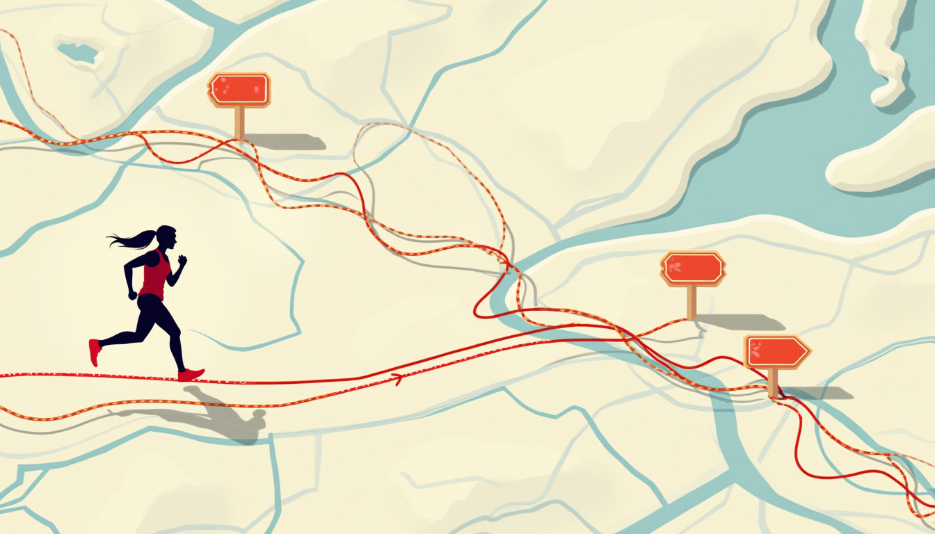
Think of these three goals:
- Guidance – “Go this way.”
- Confirmation – “You are still right.”
- Correction – “You have gone off track.”
Ask:
- Does this mark show which way to turn?
- Does it give you the sign that you are on track?
- Does it warn you of a bad choice?
Train your eyes to look ahead and not only near your feet:
- On a single trail, scan 10–30 meters ahead.
- In open fields, scan 30–100 meters out.
- Find the next mark before you pass the current one.
If you do not see a mark:
- Slow down.
- Look around for marks that may be hidden.
- Assume that you might have missed a turn.
At junctions, check by:
- Spotting an arrow or clear turn mark.
- Finding confirmation marks after the turn.
- Noting any mark that warns you of the wrong way.
If, for example, an arrow points left but there are no marks after the turn, pause and recheck your path.
Common Course Marking Setups and How to Interpret Them
The event maker often uses set patterns along the course. Here are examples you may see.
Turn Marking Patterns
You might note:
- Marks before a turn.
- A group of marks at the turn.
- A mark that confirms the right turn some distance later.
If you miss the confirmation mark after a turn:
- Stay calm and watch closely.
- If marks do not appear for some time, back up to the last known mark.
Wrong Way Indicators
Marks that show the wrong path are as useful as those that show the right one.
They might be:
- Two flags crossed to form an X.
- Red tape blocking a path.
- A painted X on the ground.
See wrong-way marks as firm limits. If a path is marked wrong, follow the correct marking.
Hazard Markings
Hazard marks can appear:
- Before steep drops.
- Near cliffs or edges.
- At water crossings.
- Around low branches or rocks.
If you see a hazard mark, slow down and choose the safest route.
How Often Should You See Course Markings?
This depends on the land and how clear the marks are:
- In a thick forest, every 30–100 meters.
- In open fields or on roads, marks may be fewer but spread out.
- On complex trails, marks come at every intersection.
- At night, you might see reflective tape or lights, sometimes more often.
If you go several minutes without seeing a marking, check that you are still in the right place.
Using GPS and Maps as Backups
Even with course markings, tools like GPS help as backups.
- Download the GPX file from the event and put it on your device.
- Bring a paper map or offline map in remote areas.
- Use your GPS to check that you remain near the marked route. But let the course marks guide you during the race.
Sometimes the GPS path and the course may not match exactly. In such moments, follow what is marked on the ground.
Trail Etiquette Around Course Markings
Respecting course marks keeps the event safe and fair:
- Do not touch or move the marks unless you work for the event.
- Do not tie gear or drop trash near the flags or ribbons.
- If you see marks that have been moved or damaged, tell a race volunteer.
- If you set marks for your own small run, use materials that you can remove soon after and then take them away.
Quick Checklist: Staying on Course
Keep this list in mind if you feel unsure:
- When did I last see a clear mark?
- Do I see any mark ahead?
- Are there any marks that hint at a wrong turn?
- Does my GPS track show that I am near the marked path?
- Or should I step back to the last clear mark?
Practical Tips for New Trail Runners and Hikers
For those new to trails and races, these habits help:
- Start in the middle of the pack to see how others follow the marks.
- At the race meeting, listen to how the maker explains:
- The main mark color.
- The mark that signals a wrong way.
- The hazard marks.
- Any special parts of the race.
- In training, practice by:
- Looking ahead at junctions.
- Noticing landmarks near course marks.
- Pausing at tricky points to check your decision.
With practice, reading course marks will feel as natural as reading road signs.
FAQ: Course Markings and Trail Navigation
-
How do I know which marks to follow in an event with many distances?
Many events use different colors or shapes for each route. Check at start or during the meeting. For example, one race might use orange marks while another uses blue. Always follow the color for your race. -
What if course marks seem to vanish on the trail?
If marks disappear:- Slow down and look around carefully.
- Backtrack to the last mark you saw.
- Look for a side path you may have missed.
- Check your GPS to see if you are near the correct area.
-
Are course marking colors the same everywhere?
No. One event can use one set of colors and another event a different set. That is why you must read the race guide or listen to the meeting.
Turn Your Next Trail into a Confident Adventure
When you learn to read course marks, your time on the trail becomes simpler. You worry less about getting lost and move with calm and speed.
If you are ready, pick your next race or hike. Learn the event’s course marks ahead of time. Load your GPS with the course and set out, trusting the clear marks beneath your feet.
